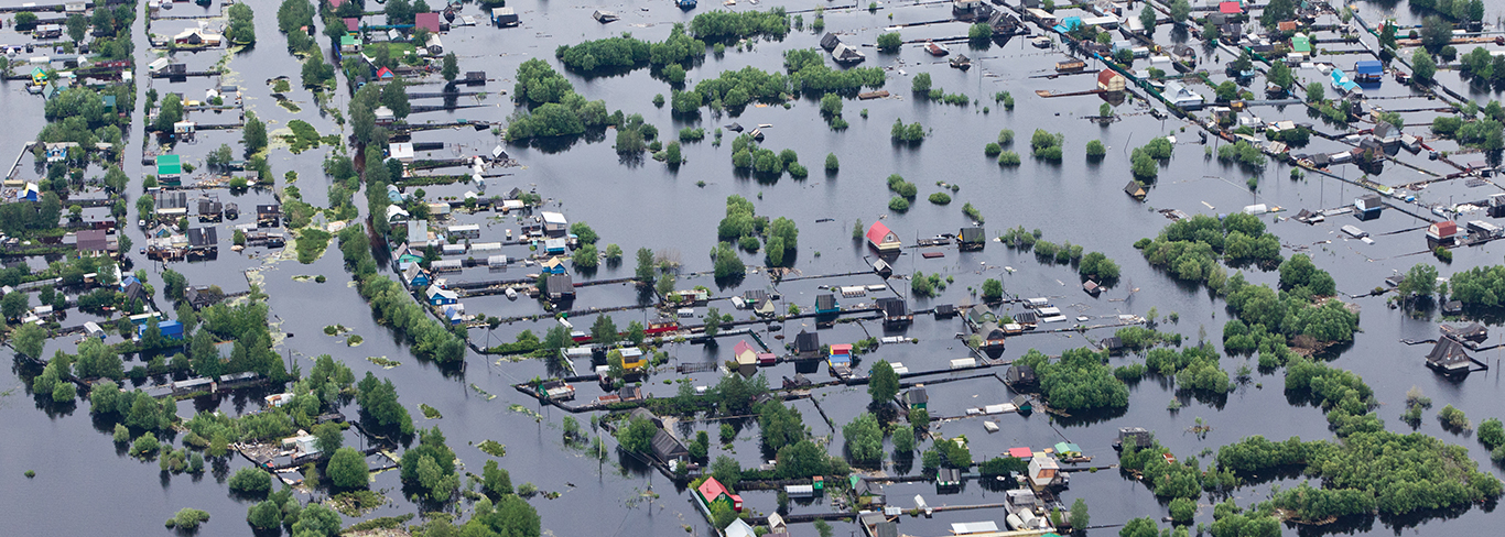
The federal government implemented the National Flood Insurance Program to help protect property owners in the event of natural disasters like intensive storms or severe tidal conditions. They identified specific flood prone areas known as Special Flood Hazard Areas (SFHA) and mandate that homeowners in those areas have flood insurance.
The Federal Emergency Management Agency (FEMA) conducted extensive studies and developed Flood Insurance Rate Maps. The maps show the flood zones in two categories. Zone VE (ocean) and Zone AE (in land). Each Zone should have a Base Flood Elevation (BFE) associated with it.
 |
It is how high water will rise in a base flood event.
It is a flood with a 1% chance of occurring in any given year.
Flood insurance rates are based on how high your property is above the BFE. The higher your elevation and BFE, the lower your cost will be because you’re at a lower risk. The lower your elevation, the higher your cost will be because you’re at a higher risk.
 |
An FEMA Elevation Certificate (EC) should be prepared to determine the existing elevations in and around your dwelling as they compare to the designated BFE. Then, you should provide the EC to your insurance company to aid them in establishing your flood insurance rate. If the EC elevations show that your dwelling is entirely above the BFE, you can petition FEMA to remove your dwelling from the flood zone by preparing a Letter of Map Amendment (LOMA).
Elevation Certificates and Letters of Map Amendment must be completed by a licensed land surveyor, engineer or architect.
Absolutely. By lowering or eliminating flood insurance premiums, you could save thousands of dollars during the time that you own your home. The savings can easily outweigh fees paid to a licensed professional.
If you have more questions, please feel free to contact us at (978) 777-3050.
HANCOCK SURVEY ASSOCIATES INC. © 2024 | Boston, Chelmsford, Danvers, Marlborough, Newburyport, Palmer & Princeton, MA • Concord, NH
Info@HancockAssociates.com |(978) 777-3050 |(800) 998-3050 |F (978) 774-7816 |Privacy Policy


